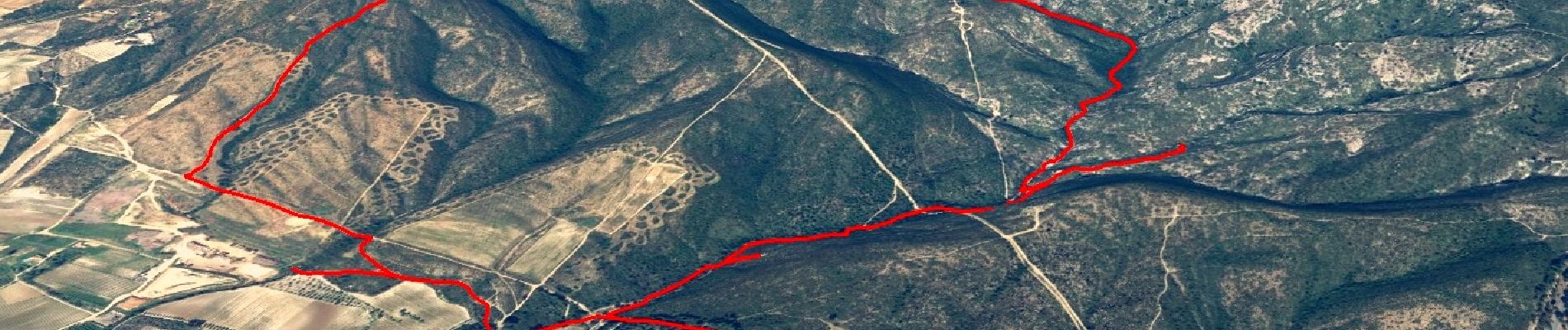
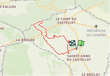
Trace_Ste_Anne

affinetataille
User GUIDE

Length
15.6 km

Max alt
499 m

Uphill gradient
454 m
Km-Effort
22 km

Min alt
178 m

Downhill gradient
454 m
Boucle
Yes
Creation date :
2022-06-28 10:56:38.546
Updated on :
2022-10-29 08:23:26.07
6h30
Difficulty : Medium

FREE GPS app for hiking
 SityTrail
IGN / Geographical institutes
SityTrail Plus
The world is yours!
About
Trail Walking of 15.6 km to be discovered at Provence-Alpes-Côte d'Azur, Var, Le Castellet. This trail is proposed by affinetataille.
Photos


24 photos in total. Please click on a photo to see them all in the gallery.
Positioning
Country:
France
Region :
Provence-Alpes-Côte d'Azur
Department/Province :
Var
Municipality :
Le Castellet
Location:
Unknown
Start:(Dec)
Start:(UTM)
724312 ; 4790350 (31T) N.
Comments